ZCZC MIATWOAT ALL
TTAA00 KNHC DDHHMM
Tropical Weather Outlook
NWS National Hurricane Center Miami FL
800 PM EDT Mon Jun 11 2018
For the North Atlantic...Caribbean Sea and the Gulf of Mexico:
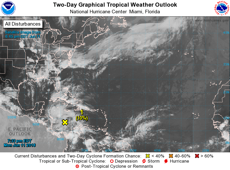
1. A large area of disorganized showers and thunderstorms over the
western Caribbean Sea is associated with a trough of low pressure.
This area of disturbed weather is expected to move westward over
Central America and the Yucatan Peninsula during the next couple of
days, and little, if any, development is expected during that time.
Environmental conditions could become slightly conducive for some
development when the system moves into the southwestern Gulf of
Mexico by the end of the week. Regardless of development, this
disturbance will likely produce locally heavy rainfall across
portions of Nicaragua, Honduras, Belize, Guatemala, and the Yucatan
Peninsula through Thursday.
* Formation chance through 48 hours...low...10 percent.
* Formation chance through 5 days...low...20 percent.
Forecaster Cangialosi