ZCZC MIATWOAT ALL
TTAA00 KNHC DDHHMM
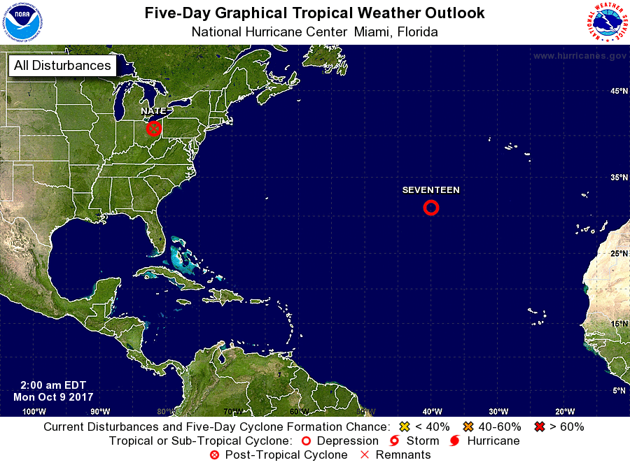
Tropical Weather Outlook
NWS National Hurricane Center Miami FL
200 AM EDT Mon Oct 9 2017
For the North Atlantic...Caribbean Sea and the Gulf of Mexico:
The NOAA Weather Prediction Center is issuing advisories on Tropical
Depression Nate, located over Kentucky.
1. A well-defined low pressure system located over the subtropical
Atlantic Ocean about 800 miles southwest of the Azores is producing
winds to near gale force. Although the low is being affected by
strong upper-level winds, shower and thunderstorm activity has been
persisting near and to the east of the center during the past
several hours. If this activity continues, a tropical or
subtropical cyclone could form later today. The low is forecast
to drift northward today and then move slowly toward the
east-southeast through the middle of the week. Additional
information on this system can be found in high seas forecasts
issued by the National Weather Service.
* Formation chance through 48 hours...high...80 percent.
* Formation chance through 5 days...high...80 percent.
High Seas Forecasts issued by the National Weather Service can be
found under AWIPS header NFDHSFAT1 and WMO header FZNT01 KWBC.
Forecaster Cangialosi