ZCZC MIATWOEP ALL
TTAA00 KNHC DDHHMM
Tropical Weather Outlook
NWS National Hurricane Center Miami FL
1100 PM PDT Tue Oct 3 2017
For the eastern North Pacific...east of 140 degrees west longitude:
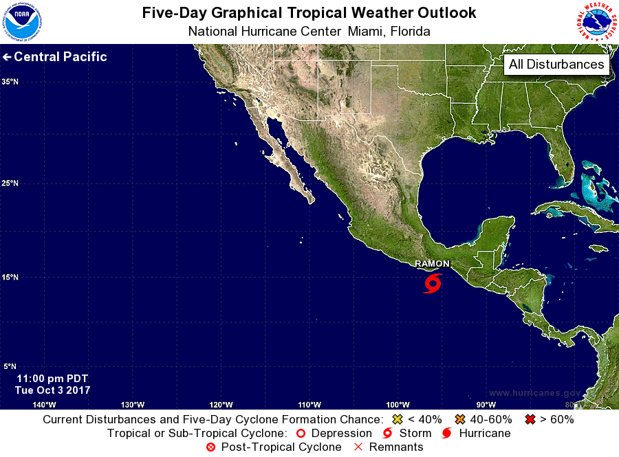
1. A compact low pressure system located over the Gulf of Tehuantepec
is producing a small area of thunderstorms near the center. Recent
satellite-derived surface winds indicate that the low has become
much better defined and that a tropical depression is likely
forming. If this recent development trend continues, then
advisories will be initiated on this disturbance by early Wednesday
morning. The system is forecast to move slowly toward the west or
west-northwest for the next few days, resulting in the center of the
low and the strongest winds remaining just offshore of the southern
coast of Mexico. However, only a slight deviation to the right of
the forecast track would result in the stronger winds reaching the
immediate coastal areas of the Mexican state of Oaxaca.
* Formation chance through 48 hours...high...90 percent.
* Formation chance through 5 days...high...90 percent.
Forecaster Stewart