ZCZC MIATWOAT ALL
TTAA00 KNHC DDHHMM
Tropical Weather Outlook
NWS National Hurricane Center Miami FL
800 AM EDT Sun Oct 1 2017
For the North Atlantic...Caribbean Sea and the Gulf of Mexico:
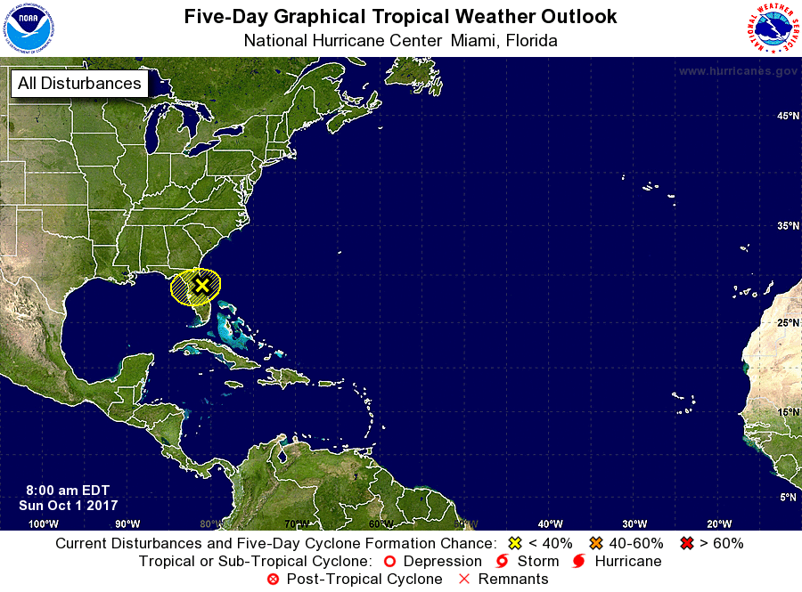
1. A trough of low pressure that extends from the eastern Gulf of
Mexico across portions of Florida is producing an area of
disorganized showers and thunderstorms and gusty winds near the east
coast of central and northern Florida. Although development of
this system is not expected due to strong upper-level winds,
gusty winds and locally heavy rains are likely to continue over
portions of northeastern Florida and southeastern Georgia
through tonight. Please see statements from local National Weather
Service forecast offices for additional information.
* Formation chance through 48 hours...low...near 0 percent.
* Formation chance through 5 days...low...near 0 percent.
Forecaster Cangialosi