ZCZC MIATWOAT ALL
TTAA00 KNHC DDHHMM
Special Tropical Weather Outlook
NWS National Hurricane Center Miami FL
825 AM EDT Wed Apr 19 2017
For the North Atlantic...Caribbean Sea and the Gulf of Mexico:
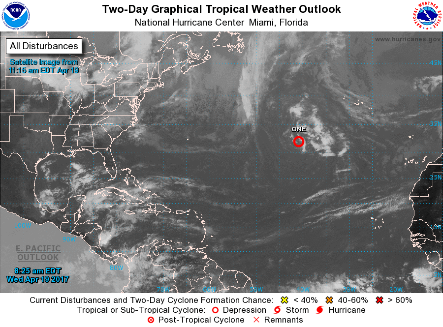
1. A non-tropical low pressure system is located over the central
Atlantic a little more than 700 miles southwest of the Azores.
There has been a small increase in organization during the past few
hours, and a subtropical depression is likely to form later today
before the system becomes absorbed by a larger extratropical
cyclone on Thursday. The next Special Tropical Weather Outlook will
be issued by 2 PM EDT this afternoon unless advisories have already
been initiated. For additional information on this system, please
see High Seas Forecasts issued by the National Weather Service.
* Formation chance through 48 hours...high...70 percent
* Formation chance through 5 days...high...70 percent
High Seas Forecasts issued by the National Weather Service can be
found under AWIPS header NFDHSFAT1, WMO header FZNT01 KWBC, and on
the Web at http://www.opc.ncep.noaa.gov/shtml/NFDHSFAT1.shtml.
Forecaster Avila