ZCZC MIATWOEP ALL
TTAA00 KNHC DDHHMM
TROPICAL WEATHER OUTLOOK
NWS NATIONAL HURRICANE CENTER MIAMI FL
1000 PM PST FRI NOV 11 2016
For the eastern North Pacific...east of 140 degrees west longitude:
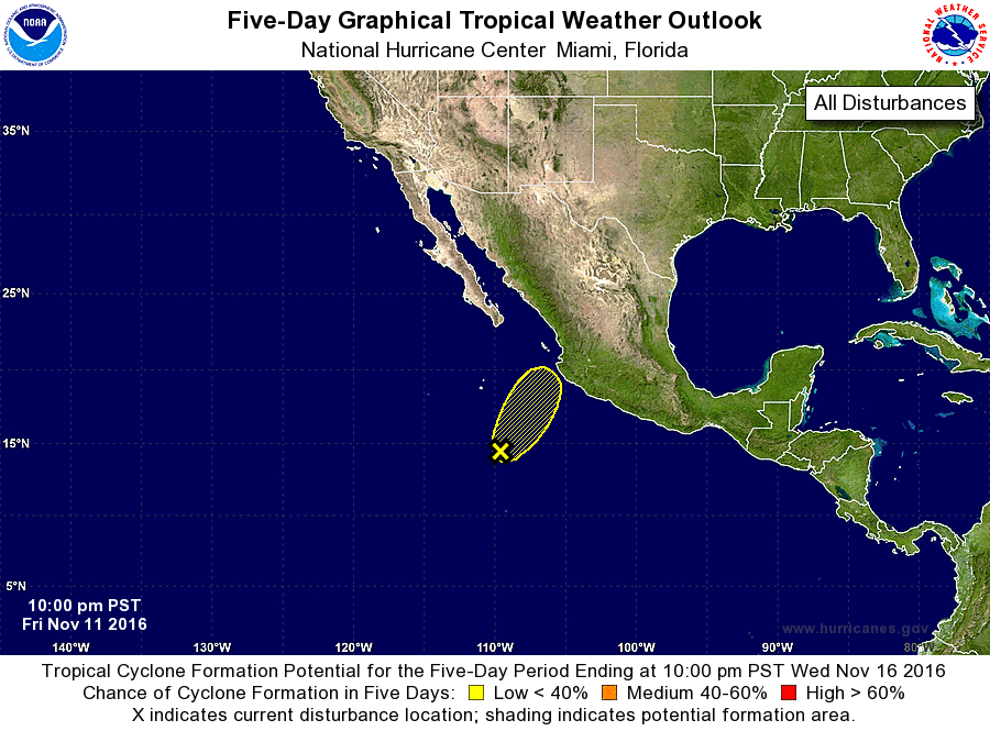
1. A broad area of low pressure located about 475 miles southwest of
Manzanillo, Mexico, is better defined than it was yesterday.
However, shower and thunderstorm activity associated with the low
remains disorganized due to strong upper-level winds. Although some
further increase in organization of this system is possible during
the next 12 to 24 hours, even stronger upper-level winds are likely
to preclude tropical cyclone formation as the low moves north-
northeastward. Regardless of tropical cyclone formation, locally
heavy rainfall is possible over portions of southwestern and central
Mexico during the next couple of days in association with this
disturbance.
* Formation chance through 48 hours...low...10 percent
* Formation chance through 5 days...low...10 percent
Forecaster Kimberlain