ZCZC MIATWOAT ALL
TTAA00 KNHC DDHHMM
TROPICAL WEATHER OUTLOOK
NWS NATIONAL HURRICANE CENTER MIAMI FL
200 PM EDT THU NOV 3 2016
For the North Atlantic...Caribbean Sea and the Gulf of Mexico:
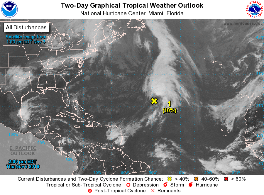
1. A non-tropical area of low pressure located about 1000 miles
east-southeast of Bermuda continues to produce gale-force winds
and widespread cloudiness and thunderstorms over the central
Atlantic. This system could acquire some subtropical
characteristics during the next day or so while it moves
north-northeastward over the north-central Atlantic, but
environmental conditions are expected to become unfavorable for
development on Saturday. Additional information on this system can
be found in High Seas Forecasts issued by the National Weather
Service.
* Formation chance through 48 hours...low...10 percent
* Formation chance through 5 days...low...10 percent
High Seas Forecasts issued by the National Weather Service
can be found under AWIPS header NFDHSFAT1, WMO header FZNT01 KWBC,
and available on the Web at
http://www.opc.ncep.noaa.gov/shtml/NFDHSFAT1.shtml.
Forecaster Brown