ZCZC MIATWOEP ALL
TTAA00 KNHC DDHHMM
TROPICAL WEATHER OUTLOOK
NWS NATIONAL HURRICANE CENTER MIAMI FL
500 PM PDT MON JUN 27 2016
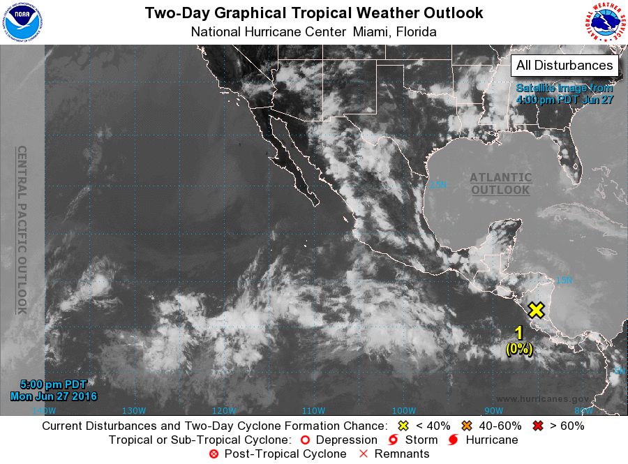
For the eastern North Pacific...east of 140 degrees west longitude:
1. A westward-moving tropical wave located over Central America is
expected to move into the eastern North Pacific on Tuesday, and then
induce a broad area of low pressure south of the Gulf of Tehuantepec
by Wednesday or Thursday. Environmental conditions are forecast to
be conducive for some gradual development of the disturbance through
this weekend while the system moves westward to west-northwestward
at 10 to 15 mph, remaining well offshore of the coast of Mexico.
* Formation chance through 48 hours...low...near 0 percent
* Formation chance through 5 days...low...20 percent
Forecaster Pasch