


NHC Graphical Outlook Archive
|
« Earliest Available ‹ Earlier Later › Latest Available » |
GIS Shapefiles |
| Eastern North Pacific | Atlantic |
|
Tropical Weather Outlook Text
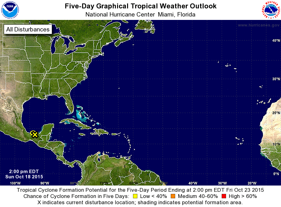
ZCZC MIATWOAT ALL
TTAA00 KNHC DDHHMM

TROPICAL WEATHER OUTLOOK
NWS NATIONAL HURRICANE CENTER MIAMI FL
200 PM EDT SUN OCT 18 2015

For the North Atlantic...Caribbean Sea and the Gulf of Mexico:

1. A weak area of low pressure located inland over southeastern Mexico
just west of Villahermosa is producing disorganized showers and a
few thunderstorms, primarily across portions of the Bay of Campeche.
This system is moving slowly westward to west-northwestward, and
development is unlikely since the low is no longer expected to
emerge over water. The Air Force Reserve Hurricane Hunter aircraft
mission scheduled to investigate the system this afternoon has been
canceled. This system could still produce locally heavy rainfall
across portions of southeastern Mexico and the Yucatan Peninsula
during the next day or two.
* Formation chance through 48 hours...low...near 0 percent
* Formation chance through 5 days...low...near 0 percent

Forecaster Kimberlain
List of Atlantic Outlooks (May 2023 - present)
List of East Pacific Outlooks (May 2023 - present)
List of Central Pacific Outlooks (May 2023 - present)
List of Atlantic Outlooks (July 2014 - April 2023)
List of East Pacific Outlooks (July 2014 - April 2023)
List of Central Pacific Outlooks (June 2019 - April 2023)
List of Atlantic Outlooks (June 2009 - June 2014)
List of East Pacific Outlooks (June 2009 - June 2014)