


NHC Graphical Outlook Archive
|
« Earliest Available ‹ Earlier Later › Latest Available » |
| Eastern Pacific | Atlantic |
|
|
(mouse over shaded areas for details; click on shaded areas or disturbance numbers to switch views) |
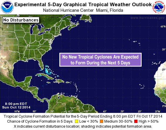
Tropical Weather Outlook Text
TROPICAL WEATHER OUTLOOK
NWS NATIONAL HURRICANE CENTER MIAMI FL
800 PM EDT SUN OCT 12 2014

For the North Atlantic...Caribbean Sea and the Gulf of Mexico:

The National Hurricane Center is issuing advisories on Tropical
Storm Fay, located a few hundred miles northeast of Bermuda, and on
Tropical Storm Gonzalo, located east of the northern Lesser
Antilles.

Tropical cyclone formation is not expected during the next 5 days.

&&

Public Advisories on Gonzalo are issued under WMO header WTNT33 KNHC
and under AWIPS header MIATCPAT3. Forecast/Advisories on Gonzalo are
issued under WMO header WTNT23 KNHC and under AWIPS header
MIATCMAT3.

$$
Forecaster Kimberlain
NNNN
List of Atlantic Outlooks (May 2023 - present)
List of East Pacific Outlooks (May 2023 - present)
List of Central Pacific Outlooks (May 2023 - present)
List of Atlantic Outlooks (July 2014 - April 2023)
List of East Pacific Outlooks (July 2014 - April 2023)
List of Central Pacific Outlooks (June 2019 - April 2023)
List of Atlantic Outlooks (June 2009 - June 2014)
List of East Pacific Outlooks (June 2009 - June 2014)