ZCZC MIATWOEP ALL
TTAA00 KNHC DDHHMM
Tropical Weather Outlook
NWS National Hurricane Center Miami FL
500 AM PDT Fri Jul 15 2022
For the eastern North Pacific...east of 140 degrees west longitude:
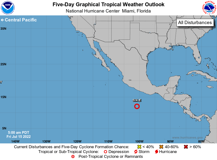
1. Offshore of Southern Mexico:
Satellite data indicate an area of low pressure located several
hundred miles south of Acapulco, Mexico has become better defined
since yesterday, and its associated showers and thunderstorms show
good signs of organization. If these trends continue, a tropical
depression could form as soon as this morning well offshore of the
coast of southern or southwestern Mexico while the system moves
west-northwestward at about 10 mph. Additional information on this
system, including gale warnings, can be found in high seas forecasts
issued by the National Weather Service.
* Formation chance through 48 hours...high...near 100 percent.
* Formation chance through 5 days...high...near 100 percent.
High Seas Forecasts issued by the National Weather Service can be
found under AWIPS header NFDHSFEPI, WMO header FZPN02 KWBC, and on
the web at ocean.weather.gov/shtml/NFDHSFEPI.php
Forecaster Reinhart