ZCZC MIATWOEP ALL
TTAA00 KNHC DDHHMM
Tropical Weather Outlook
NWS National Hurricane Center Miami FL
1100 PM PDT Fri Oct 9 2020
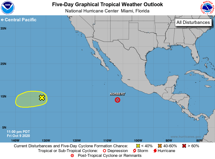
For the eastern North Pacific...east of 140 degrees west longitude:
The National Hurricane Center is issuing advisories on Tropical
Depression Norbert, located several hundred miles south-southwest
of Manzanillo, Mexico.
1. Dry air continues to limit shower and thunderstorm activity in
association with a small low pressure system located about 1500
miles west-southwest of the southern tip of the Baja California
peninsula. Environmental conditions are expected to be only
marginally conducive for development during the next day or so as
the low moves toward the west or west-southwest at 10 to 15 mph.
Thereafter, strong upper-level winds will likely inhibit further
development.
* Formation chance through 48 hours...low...20 percent.
* Formation chance through 5 days...low...20 percent.
Forecaster Reinhart/Zelinsky