ZCZC MIATWOEP ALL
TTAA00 KNHC DDHHMM
Tropical Weather Outlook
NWS National Hurricane Center Miami FL
1100 AM PDT Sun Sep 27 2020
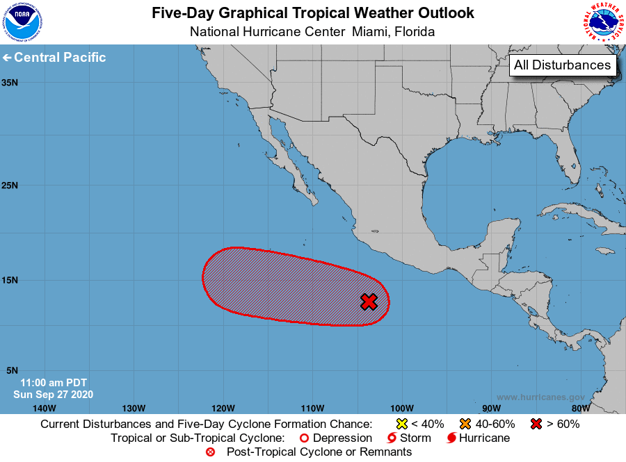
For the eastern North Pacific...east of 140 degrees west longitude:
1. A small area of low pressure has formed within an elongated region
of disturbed weather, a few hundred miles south of the southwestern
coast of Mexico. This system is expected to move generally westward
for the next day or two, and it could interact with a
westward-moving tropical wave during that time. Environmental
conditions are expected to support at least gradual development
during the next several days and a tropical depression is likely to
form later this week. The system is forecast to turn
west-northwestward by mid-week and will likely continue moving in
that general direction through the end of the week.
* Formation chance through 48 hours...low...20 percent.
* Formation chance through 5 days...high...80 percent.
Forecaster Zelinsky