ZCZC MIATWOEP ALL
TTAA00 KNHC DDHHMM
Tropical Weather Outlook
NWS National Hurricane Center Miami FL
400 PM PST Thu Nov 14 2019
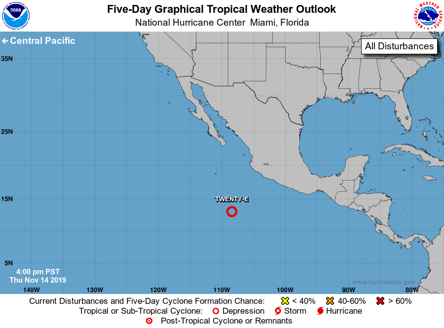
For the eastern North Pacific...east of 140 degrees west longitude:
1. Showers and thunderstorms are gradually increasing and becoming
better organized in association with a well-defined low pressure
system located about 500 miles south-southwest of Manzanillo,
Mexico. Only a small increase in the organization of the
thunderstorm activity would lead to the formation of a tropical
depression tonight or on Friday. This system is expected to move
slowly northwestward or northward during the next few days.
* Formation chance through 48 hours...high...90 percent.
* Formation chance through 5 days...high...90 percent.
Forecaster Cangialosi