ZCZC MIATWOEP ALL
TTAA00 KNHC DDHHMM
Tropical Weather Outlook
NWS National Hurricane Center Miami FL
500 AM PDT Mon Oct 21 2019
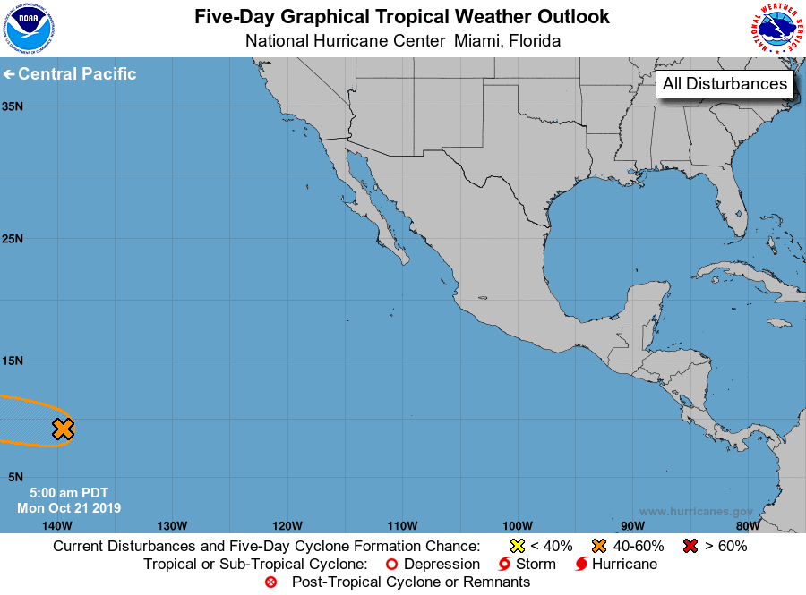
For the eastern North Pacific...east of 140 degrees west longitude:
1. Showers and thunderstorms associated with a well-defined low
pressure system located more than 1000 miles east-southeast of the
Hawaiian Islands have increased and become a little better
organized since yesterday. Environmental conditions appear
conducive for additional development of this system, and a tropical
depression could form during the next couple of days while the
system moves westward to west-northwestward at about 10 mph.
Upper-level winds are expected to become less favorable for
development by the middle to latter part of the week. The low is
expected to cross into the central Pacific basin later this morning.
* Formation chance through 48 hours...medium...40 percent.
* Formation chance through 5 days...medium...40 percent.
Forecaster Berg