ZCZC MIATWOEP ALL
TTAA00 KNHC DDHHMM
Tropical Weather Outlook
NWS National Hurricane Center Miami FL
500 PM PDT Thu Aug 1 2019
For the eastern North Pacific...east of 140 degrees west longitude:
The National Hurricane Center is issuing advisories on Tropical
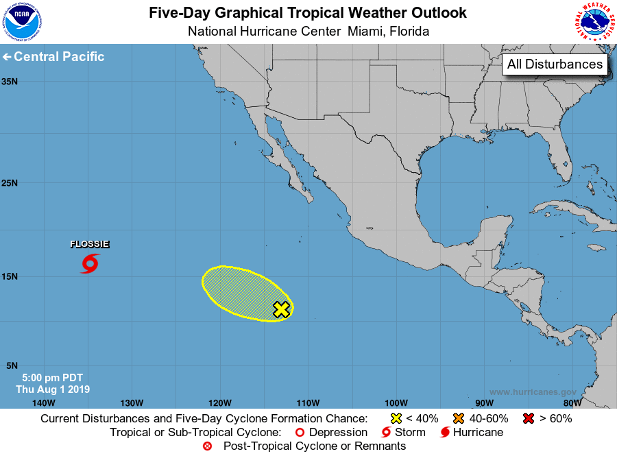
Storm Flossie, located in the far southwestern part of the basin.
1. A broad area of low pressure located several hundred miles south-
southwest of the southern tip of the Baja California peninsula
continues to produce disorganized showers and thunderstorms. While
upper-level winds are not forecast to be particularly conducive for
development, a short-lived tropical depression could still form
during the next two days while the low moves west-northwestward at
about 15 mph. After that time, strong upper-level winds are
expected to prevent additional development.
* Formation chance through 48 hours...low...30 percent.
* Formation chance through 5 days...low...30 percent.
Forecaster Blake