ZCZC MIATWOEP ALL
TTAA00 KNHC DDHHMM
Tropical Weather Outlook
NWS National Hurricane Center Miami FL
500 PM PDT Tue Jul 30 2019
For the eastern North Pacific...east of 140 degrees west longitude:
The National Hurricane Center is issuing advisories on recently
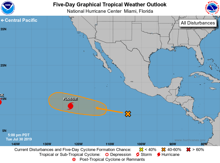
upgraded Hurricane Flossie, located in southwestern portion of the
basin.
1. A broad low pressure area has formed within a large region of
disorganized showers and thunderstorms centered several hundred
miles south of Manzanillo. Upper-level winds are forecast to
become more conducive for development late this week, and a
tropical depression could form over the weekend while the low
moves westward or west-northwestward at about 15 mph.
* Formation chance through 48 hours...low...10 percent.
* Formation chance through 5 days...medium...40 percent.
Forecaster Blake