ZCZC MIATWOEP ALL
TTAA00 KNHC DDHHMM
Tropical Weather Outlook
NWS National Hurricane Center Miami FL
1100 PM PDT Wed Jul 3 2019
For the eastern North Pacific...east of 140 degrees west longitude:
The National Hurricane Center is issuing advisories on Hurricane
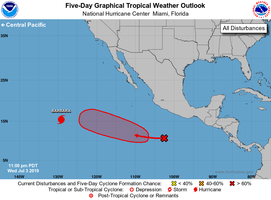
Barbara, located about 1300 miles west-southwest of the southern tip
of the Baja California peninsula.
1. A tropical wave is producing a large area of disorganized showers
and thunderstorms several hundred miles south of the coast of
southwestern Mexico. Environmental conditions appear conducive for
development of this system, and a tropical depression is likely to
form this weekend. This disturbance is expected to move
west-northwestward at about 15 mph well off the coast of Mexico for
the next several days.
* Formation chance through 48 hours...medium...40 percent.
* Formation chance through 5 days...high...80 percent.
Forecaster Cangialosi