ZCZC MIATWOEP ALL
TTAA00 KNHC DDHHMM
Tropical Weather Outlook
NWS National Hurricane Center Miami FL
500 PM PDT Sun May 26 2019
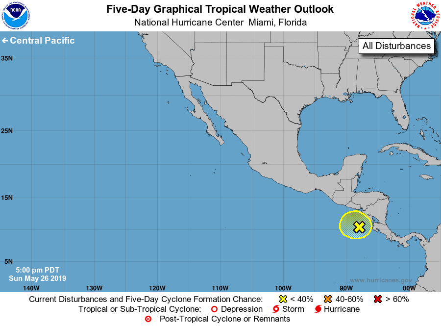
For the eastern North Pacific...east of 140 degrees west longitude:
1. An elongated area of low pressure remains stationary over the far
eastern Pacific and continues to produce disorganized cloudiness
and shower activity over Central America and the adjacent Pacific
waters. Any development of this system during the next several days
should be slow to occur due to its proximity to land and unfavorable
upper-level winds. Regardless of development, locally heavy rains
are likely to continue over portions of Central America through this
week while the system moves little. These rains could cause flash
flooding and mudslides in areas of mountainous terrain.
* Formation chance through 48 hours...low...10 percent.
* Formation chance through 5 days...low...20 percent.
Forecaster Latto/Stewart