ZCZC MIATWOEP ALL
TTAA00 KNHC DDHHMM
Tropical Weather Outlook
NWS National Hurricane Center Miami FL
500 AM PDT Thu May 23 2019
For the eastern North Pacific...east of 140 degrees west longitude:
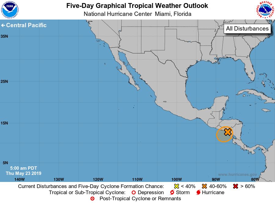
1. Disorganized showers and thunderstorms along portions of the west
coast of Central America and the far eastern North Pacific are
associated with a broad area of low pressure. Earlier satellite wind
data indicated that the large circulation has moved inland over
Central America and the chance for development has decreased.
Regardless of development, locally heavy rains are likely to
continue over portions of Central America as this system remains
nearly stationary during the next few days. These rains could cause
flash flooding and mudslides in areas of mountainous terrain.
* Formation chance through 48 hours...low...20 percent.
* Formation chance through 5 days...medium...40 percent.
Forecaster Latto/Brown