ZCZC MIATWOEP ALL
TTAA00 KNHC DDHHMM
Tropical Weather Outlook
NWS National Hurricane Center Miami FL
1100 AM PDT Tue Sep 25 2018
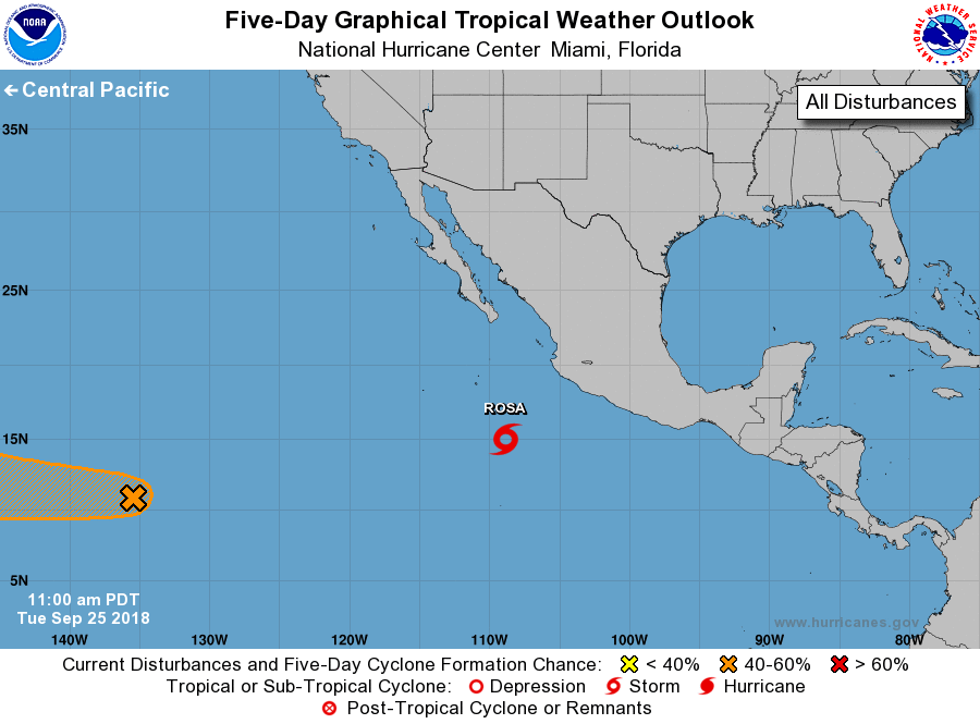
For the eastern North Pacific...east of 140 degrees west longitude:
The National Hurricane Center is issuing advisories on recently
upgraded Tropical Storm Rosa, located almost 400 miles southwest
of Manzanillo, Mexico.
1. A trough of low pressure located a little over 1400 miles
east-southeast of Hilo, Hawaii, is producing disorganized shower
activity. Some gradual development of this system is possible
through the end of the week while it moves westward into the central
Pacific.
* Formation chance through 48 hours...low...20 percent.
* Formation chance through 5 days...medium...50 percent.
Public Advisories on Tropical Storm Rosa are issued under WMO header
WTPZ35 KNHC and under AWIPS header MIATCPEP5.
Forecast/Advisories on Tropical Storm Rosa are issued under WMO
header WTPZ25 KNHC and under AWIPS header MIATCMEP5.
Forecaster Roberts