ZCZC MIATWOEP ALL
TTAA00 KNHC DDHHMM
Tropical Weather Outlook
NWS National Hurricane Center Miami FL
500 AM PDT Sat Aug 11 2018
For the eastern North Pacific...east of 140 degrees west longitude:
The National Hurricane Center is issuing advisories on Tropical
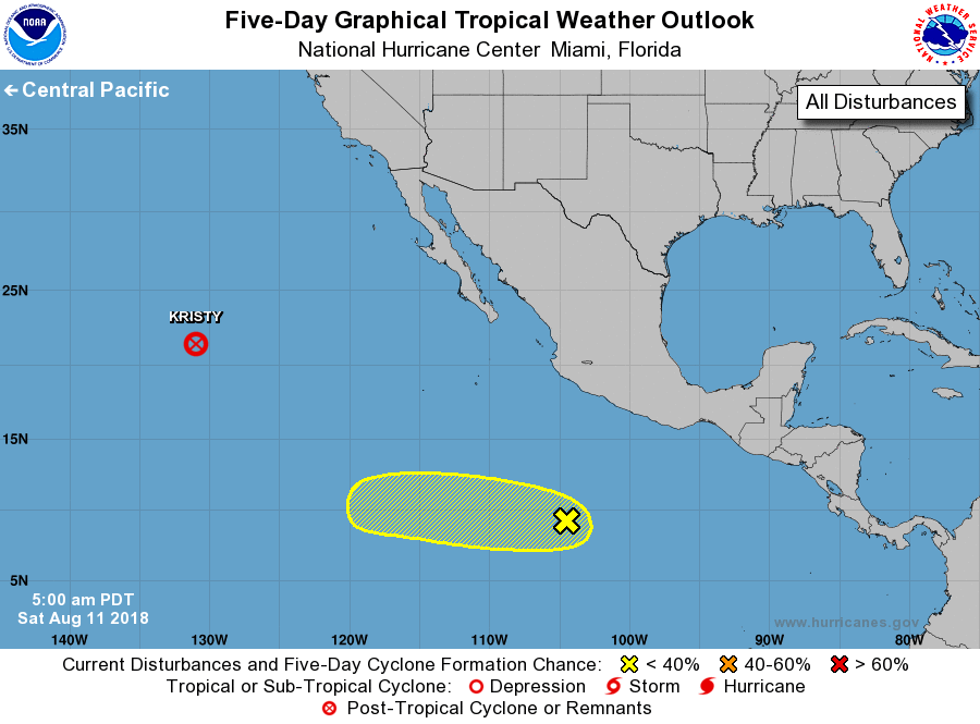
Storm Kristy, located more than a thousand miles west of the
southern tip of the Baja California peninsula.
1. A concentrated area of showers and thunderstorms centered a little
more than 600 miles south of Manzanillo, Mexico is associated with
a tropical wave. This activity has become a little better organized
since yesterday, and conditions appear to be favorable for some
development of this system by the middle of next week while the
disturbance moves westward away from the coast of Mexico.
* Formation chance through 48 hours...low...near 10 percent.
* Formation chance through 5 days...low...30 percent.
Forecaster Avila