ZCZC MIATWOEP ALL
TTAA00 KNHC DDHHMM
Special Tropical Weather Outlook
NWS National Hurricane Center Miami FL
1025 AM PDT Wed May 9 2018
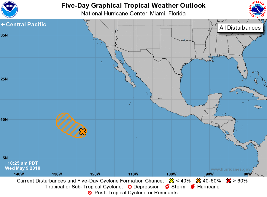
For the eastern North Pacific...east of 140 degrees west longitude:
1. After a period of increased organization during the past 24 hours,
the shower activity associated with the broad area of low pressure
located more than 1100 miles southwest of the southern tip of the
Baja California peninsula has markedly decreased. It appears that
the disturbance is already reaching an unfavorable environment, and
the chances of tropical cyclone formation are diminishing. However,
a tropical depression could still form later today before strong
upper-level winds become established over the system on Thursday.
Another Special Tropical Weather Outlook on this disturbance will be
issued by 11 AM PDT on Thursday.
* Formation chance through 48 hours...medium...50 percent.
* Formation chance through 5 days...medium...50 percent.
Forecaster Avila