Skip Navigation Links
NOAA NOAA United States Department of Commerce

NHC Graphical Outlook Archive


« Earliest Available         ‹ Earlier         Later ›         Latest Available »
GIS Shapefiles
tab Eastern North Pacific tab tab Atlantic tab

View 2-Day Graphical Tropical Weather Outlook
Click for Atlantic Click for Atlantic

Tropical Weather Outlook Text

ZCZC MIATWOEP ALL
TTAA00 KNHC DDHHMM

Tropical Weather Outlook
NWS National Hurricane Center Miami FL
500 AM PDT Thu Aug 17 2017

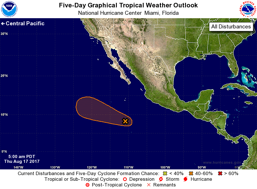
For the eastern North Pacific...east of 140 degrees west longitude:

1. An area of low pressure is located about 600 miles south-southwest
of Manzanillo, Mexico.  This system has a broad circulation, but
the associated shower and thunderstorm activity remains
disorganized. Environmental conditions are expected to be generally
conducive for gradual development, and a tropical depression may
form within the next few days while it moves west-northwestward
at 10 to 15 mph.
* Formation chance through 48 hours...medium...40 percent.
* Formation chance through 5 days...medium...60 percent.

Forecaster Zelinsky


List of Atlantic Outlooks (May 2023 - present)
List of East Pacific Outlooks (May 2023 - present)
List of Central Pacific Outlooks (May 2023 - present)
List of Atlantic Outlooks (July 2014 - April 2023)
List of East Pacific Outlooks (July 2014 - April 2023)
List of Central Pacific Outlooks (June 2019 - April 2023)
List of Atlantic Outlooks (June 2009 - June 2014)
List of East Pacific Outlooks (June 2009 - June 2014)