ZCZC MIATWOAT ALL
TTAA00 KNHC DDHHMM
Tropical Weather Outlook
NWS National Hurricane Center Miami FL
200 PM EDT Fri Oct 21 2022
For the North Atlantic...Caribbean Sea and the Gulf of Mexico:
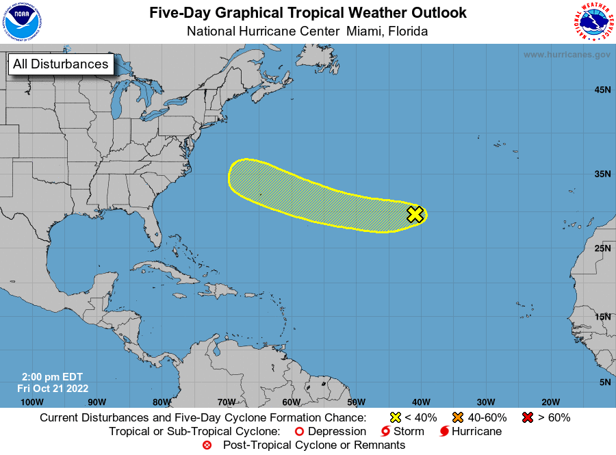
1. Eastern and Central Subtropical Atlantic:
A small non-tropical area of low pressure is located more than
1400 miles east of Bermuda. While this system is currently only
producing limited shower activity and environmental conditions are
only marginally favorable, recent satellite wind data indicates it
has maximum sustained winds near 40 mph. This low is forecast to
move quickly westward at 20-25 mph across the subtropical Atlantic
towards warmer waters, and could acquire some subtropical or
tropical characteristics by early next week. Additional information
on this system, including gale warnings, can be found in High Seas
Forecasts issued by the National Weather Service.
* Formation chance through 48 hours...low...10 percent.
* Formation chance through 5 days...low...20 percent.
High Seas Forecasts issued by the National Weather Service
can be found under AWIPS header NFDHSFAT1, WMO header FZNT01
KWBC, and online at ocean.weather.gov/shtml/NFDHSFAT1.php
Forecaster Papin