ZCZC MIATWOAT ALL
TTAA00 KNHC DDHHMM
Tropical Weather Outlook
NWS National Hurricane Center Miami FL
200 PM EDT Sun May 22 2022
For the North Atlantic...Caribbean Sea and the Gulf of Mexico:
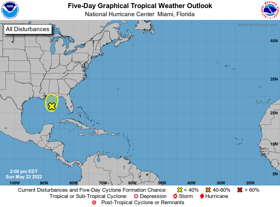
1. North Central Gulf of Mexico:
An area of disorganized showers and thunderstorms is associated with
a surface trough of low pressure over the north central Gulf of
Mexico. Surface pressures remain high, and environmental conditions
do not appear favorable for significant development before this
system moves inland over the central Gulf Coast in a day or so.
Regardless of development, the system could produce heavy rainfall
and gusty winds over portions of the central Gulf Coast from
southeastern Louisiana to the western Florida Panhandle. Additional
information on the rainfall and flooding potential can be found in
products issued by your local National Weather Service Forecast
Office and Excessive Rainfall Outlooks issued by the Weather
Prediction Center.
* Formation chance through 48 hours...low...10 percent.
* Formation chance through 5 days...low...10 percent.
Forecaster Papin