ZCZC MIATWOAT ALL
TTAA00 KNHC DDHHMM
Tropical Weather Outlook
NWS National Hurricane Center Miami FL
800 AM EDT Wed Oct 6 2021
For the North Atlantic...Caribbean Sea and the Gulf of Mexico:
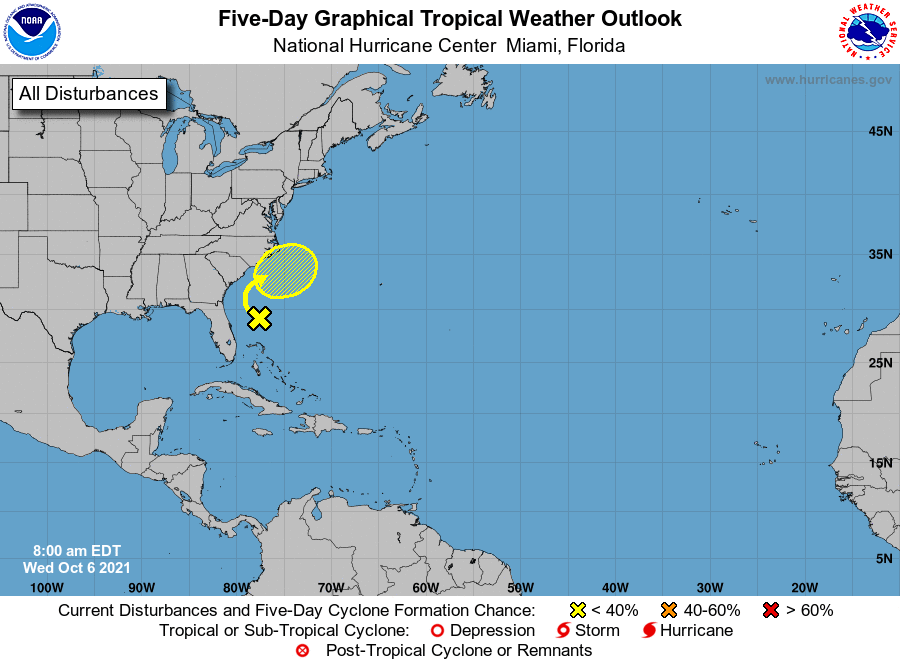
1. A surface trough located about 200 miles east of the east coast of
Florida continues to produce disorganized showers and thunderstorms
well to the east of its axis due to strong upper-level winds.
These winds are not expected to be conducive for significant
development of this system while it moves slowly northward
and then northeastward off the southeastern United States coast
during the next few days. By the weekend, the system is forecast
to interact with a front near the coast of the southeastern United
States, which should also limit tropical development.
* Formation chance through 48 hours...low...near 0 percent.
* Formation chance through 5 days...low...10 percent.
Forecaster Berg