ZCZC MIATWOAT ALL
TTAA00 KNHC DDHHMM
Tropical Weather Outlook
NWS National Hurricane Center Miami FL
800 PM EDT Tue Aug 10 2021
For the North Atlantic...Caribbean Sea and the Gulf of Mexico:
The National Hurricane Center is issuing advisories on Potential
Tropical Cyclone Six, located just south of Puerto Rico.
* Formation chance through 48 hours...high...90 percent.
* Formation chance through 5 days...high...90 percent.
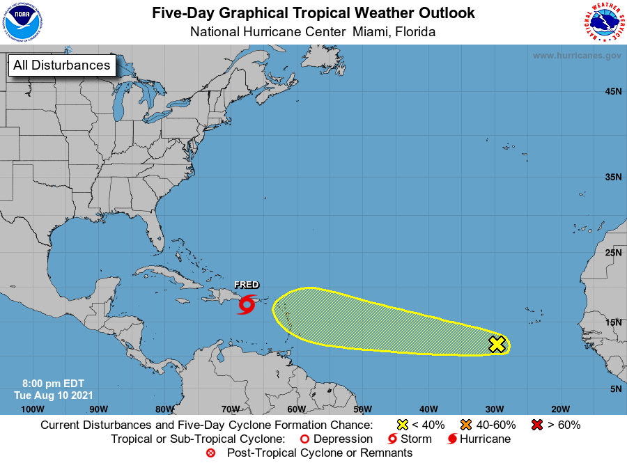
1. A tropical wave located a few hundred miles southwest of the Cabo
Verde Islands continues to produce a concentrated area of of showers
and thunderstorms just west of its axis. Some gradual development is
possible over the next several days while the system moves westward
across the tropical Atlantic at 15 to 20 mph.
* Formation chance through 48 hours...low...20 percent.
* Formation chance through 5 days...low...30 percent.
Forecaster Papin/Stewart