ZCZC MIATWOAT ALL
TTAA00 KNHC DDHHMM
Tropical Weather Outlook
NWS National Hurricane Center Miami FL
200 PM EDT Wed Jun 9 2021
For the North Atlantic...Caribbean Sea and the Gulf of Mexico:
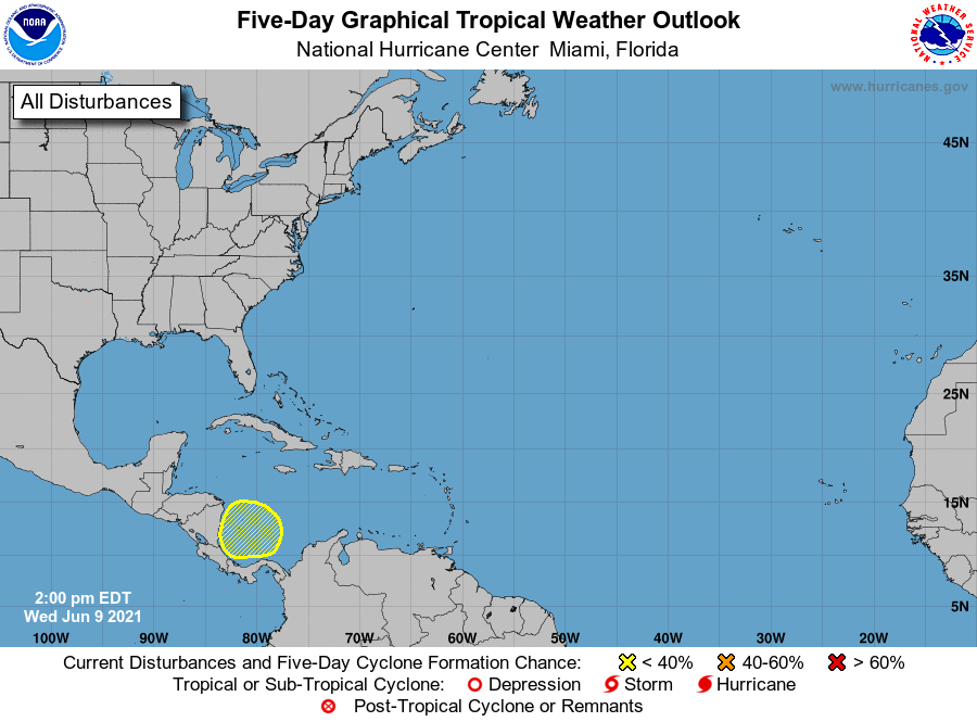
1. A broad trough of low pressure is expected to develop over the
southwestern Caribbean Sea during the next day or two following the
passage of a tropical wave. Significant development of this system
appears unlikely as it drifts west-northwestward or northwestward
toward Central America. Regardless of development, this system
could produce heavy rainfall across northern Colombia and portions
of Central America from Honduras southward late this week and over
the weekend. See products from your local meteorological service
for more information.
* Formation chance through 48 hours...low...near 0 percent.
* Formation chance through 5 days...low...10 percent.
Forecaster Reinhart/Beven