ZCZC MIATWOAT ALL
TTAA00 KNHC DDHHMM
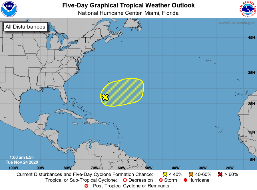
Tropical Weather Outlook
NWS National Hurricane Center Miami FL
100 AM EST Tue Nov 24 2020
For the North Atlantic...Caribbean Sea and the Gulf of Mexico:
1. A broad area of low pressure located several hundred miles south of
Bermuda continues to produce disorganized showers and thunderstorms,
Strong upper-level winds are expected to inhibit development of the
system for the next day or so after the low merges with a frontal
system. By late Wednesday or Thursday, the system could become
separated from the front, allowing it to possibly develop some
subtropical characteristics while it meanders over the central
Atlantic.
* Formation chance through 48 hours...low...10 percent.
* Formation chance through 5 days...low...30 percent.
Forecaster Stewart