ZCZC MIATWOAT ALL
TTAA00 KNHC DDHHMM
Tropical Weather Outlook
NWS National Hurricane Center Miami FL
100 PM EST Sun Nov 22 2020
For the North Atlantic...Caribbean Sea and the Gulf of Mexico:
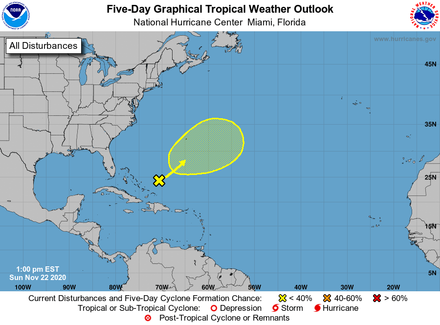
1. A trough of low pressure is producing disorganized showers and a few
thunderstorms over the western Atlantic, generally between Bermuda
and the Bahamas. This disturbance is expected to move
northeastward, and there is a slight chance that it could acquire
some subtropical characteristics before it merges with a cold front
on Tuesday. Later in the week, this system may have a second
opportunity to develop subtropical characteristics if it becomes
separated from the front and meanders over the central Atlantic.
* Formation chance through 48 hours...low...10 percent.
* Formation chance through 5 days...low...20 percent.
Forecaster Cangialosi