ZCZC MIATWOAT ALL
TTAA00 KNHC DDHHMM
Tropical Weather Outlook
NWS National Hurricane Center Miami FL
200 PM EDT Sat Oct 31 2020
For the North Atlantic...Caribbean Sea and the Gulf of Mexico:
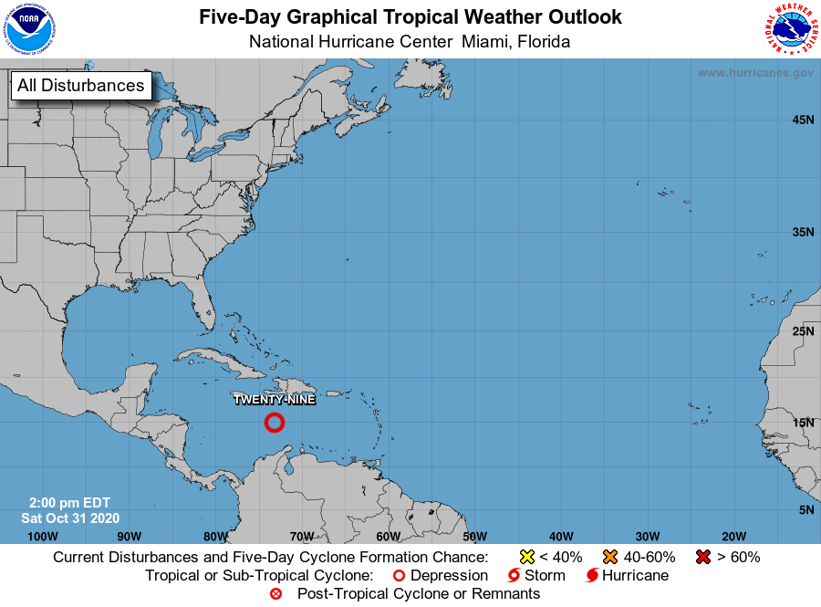
1. A vigorous tropical wave located over the central Caribbean Sea
continues to produce organized cloudiness and thunderstorms, and a
tropical depression appears to be forming. If this recent
development trend continues, then advisories will likely be
initiated on this disturbance this afternoon or evening while the
system moves generally westward at about 15 mph toward the western
Caribbean Sea. Interests in Jamaica, Honduras, and Nicaragua should
monitor the progress of this system. Regardless of development,
this disturbance is expected to produce heavy rainfall across
portions of Jamaica and southern Hispaniola through the weekend.
* Formation chance through 48 hours...high...near 100 percent.
* Formation chance through 5 days...high...near 100 percent.
Forecaster Stewart/Berg