ZCZC MIATWOAT ALL
TTAA00 KNHC DDHHMM
Tropical Weather Outlook
NWS National Hurricane Center Miami FL
800 PM EDT Sat Oct 10 2020
For the North Atlantic...Caribbean Sea and the Gulf of Mexico:
The Weather Prediction Center has begun issuing advisories on
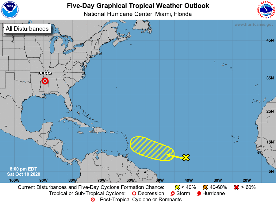
Post-Tropical Cyclone Delta, centered over Mississippi.
1. A westward-moving tropical wave is producing disorganized showers
and thunderstorms over the central tropical Atlantic. Some slow
development of this system is possible later this weekend or
early next week while the wave continues moving westward at
around 15 mph. Upper-level winds are forecast to become
unfavorable for further development by the middle of next week.
* Formation chance through 48 hours...low...10 percent.
* Formation chance through 5 days...low...20 percent.
Public advisories issued by the Weather Prediction Center on
Post-Tropical Cyclone Delta can be found under AWIPS header TCPAT1,
WMO header WTNT31 KWNH, and on the web at
https://www.wpc.ncep.noaa.gov and https://www.hurricanes.gov
Forecaster Pasch