ZCZC MIATWOAT ALL
TTAA00 KNHC DDHHMM
Special Tropical Weather Outlook
NWS National Hurricane Center Miami FL
405 PM EDT Mon Jun 22 2020
For the North Atlantic...Caribbean Sea and the Gulf of Mexico:
Special Tropical Weather Outlook issued to discuss the development
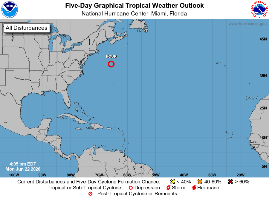
of a Subtropical Depression over the northwestern Atlantic.
1. Shower and thunderstorm activity associated with a well-defined low
pressure system located about 350 miles southeast of Cape Cod,
Massachusetts, has continued to get better organized today, and a
subtropical depression appears to be forming. If these trends
continue, advisories will be initiated on this system at 500 PM AST
this afternoon. This system is expected to move eastward and
northeastward away from the United States during the next couple of
days.
* Formation chance through 48 hours...high...80 percent.
* Formation chance through 5 days...high...80 percent.
Forecaster Stewart