ZCZC MIATWOAT ALL
TTAA00 KNHC DDHHMM
Tropical Weather Outlook
NWS National Hurricane Center Miami FL
200 AM EDT Sat May 30 2020
For the North Atlantic...Caribbean Sea and the Gulf of Mexico:
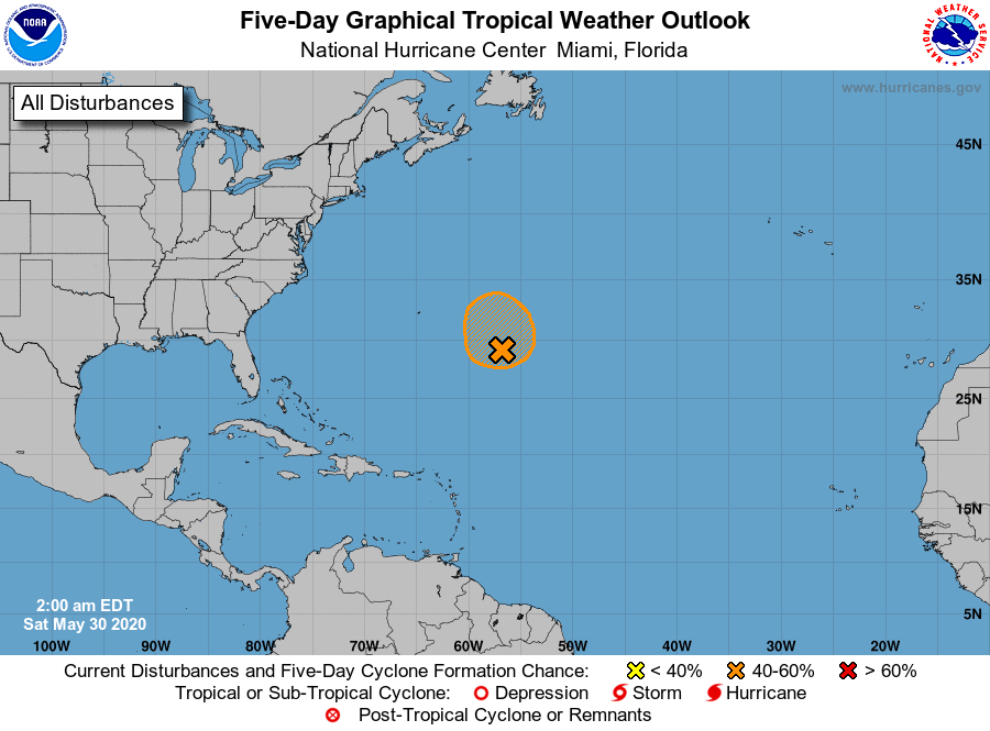
Special Tropical Weather Outlook issued to discuss the area of low
pressure over the central Atlantic.
1. A broad area of low pressure is located over the central Atlantic.
The associated shower activity has become better organized during
the past several hours, and the wind circulation has become
somewhat better defined. Additional development is possible today
and tonight, and a subtropical depression could still form while
the system moves generally northward. Further development is not
expected after that time due to unfavorable environmental
conditions. The next Special Tropical Weather Outlook will be issued
by 9 AM EDT Saturday, or earlier if necessary.
* Formation chance through 48 hours...medium...60 percent.
* Formation chance through 5 days...medium...60 percent.
Forecaster Beven