ZCZC MIATWOAT ALL
TTAA00 KNHC DDHHMM
Tropical Weather Outlook
NWS National Hurricane Center Miami FL
800 AM EDT Fri Nov 1 2019
For the North Atlantic...Caribbean Sea and the Gulf of Mexico:
The National Hurricane Center has issued the last advisory on
post-tropical cyclone Rebekah located over the north Atlantic,
just north of the westernmost Azores.
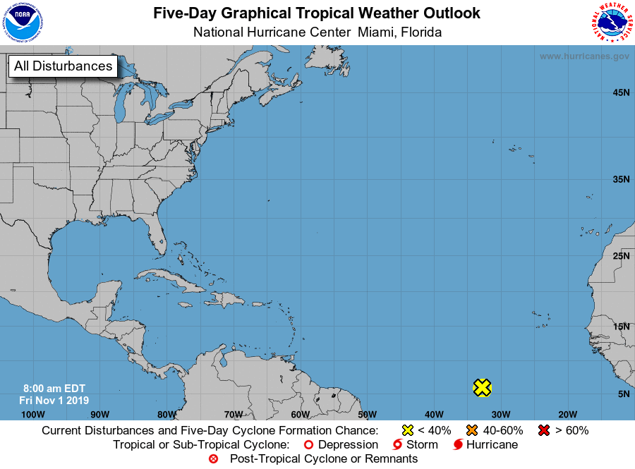
1. Disorganized showers and thunderstorms located nearly 1000 miles
southwest of the Cabo Verde Islands are associated with a tropical
wave. Upper-level winds are forecast to become unfavorable for
development by later today, and significant development of this
system is not anticipated as the disturbance moves westward at 10
to 15 mph.
* Formation chance through 48 hours...low...near 0 percent.
* Formation chance through 5 days...low...near 0 percent.
Forecaster Brown