ZCZC MIATWOAT ALL
TTAA00 KNHC DDHHMM
Tropical Weather Outlook
NWS National Hurricane Center Miami FL
200 PM EDT Wed Oct 30 2019
For the North Atlantic...Caribbean Sea and the Gulf of Mexico:
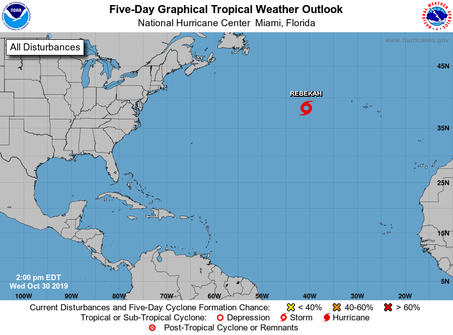
1. Showers associated with a low pressure system located several
hundred miles west of the westernmost Azores continue to show signs
of organization. If the current organization of shower activity
persists, advisories will likely be initiated on a tropical or
subtropical storm later today or tonight. The system will likely
move over colder waters on Thursday and further development is
unlikely after that time. The low is producing gale-force winds and
these winds are forecast to continue today, regardless of
development. For more information on this system, see High Seas
Forecasts issued by the National Weather Service.
* Formation chance through 48 hours...high...70 percent.
* Formation chance through 5 days...high...70 percent.
High Seas Forecasts issued by the National Weather Service can be
found under AWIPS header NFDHSFAT1, WMO header FZNT01 KWBC, and
online at ocean.weather.gov/shtml/NFDHSFAT1.php.
Forecaster Pasch