ZCZC MIATWOAT ALL
TTAA00 KNHC DDHHMM
Tropical Weather Outlook
NWS National Hurricane Center Miami FL
200 PM EDT Thu Oct 24 2019
For the North Atlantic...Caribbean Sea and the Gulf of Mexico:
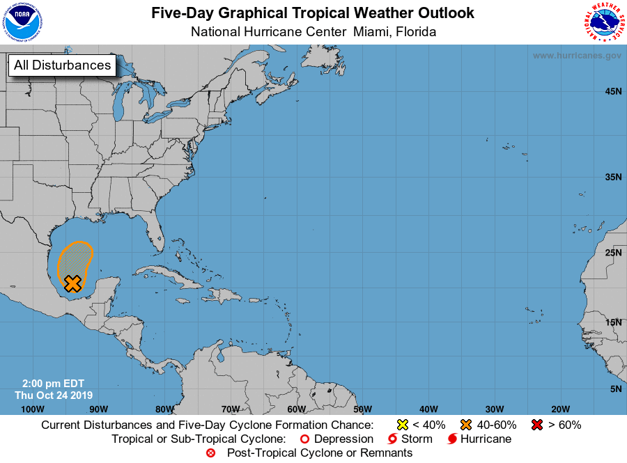
1. Showers and thunderstorms continue to show signs of organization in
association with a low pressure system located over the Bay of
Campeche. However, recent satellite data indicate that the
circulation is elongated and not well defined. This system
could become a short-lived tropical depression before it merges with
a cold front by late Friday. Regardless of development, gale-force
winds are expected behind the cold front over the western Gulf of
Mexico on Friday and Saturday. For more information, see High Seas
Forecasts issued by the National Weather Service.
* Formation chance through 48 hours...medium...60 percent.
* Formation chance through 5 days...medium...60 percent.
High Seas Forecasts issued by the National Weather Service can be
found under AWIPS header NFDHSFAT1, WMO header FZNT01 KWBC, and
online at ocean.weather.gov/shtml/NFDHSFAT1.php
Forecaster Cangialosi