ZCZC MIATWOAT ALL
TTAA00 KNHC DDHHMM
Tropical Weather Outlook
NWS National Hurricane Center Miami FL
200 PM EDT Mon Jul 22 2019
For the North Atlantic...Caribbean Sea and the Gulf of Mexico:
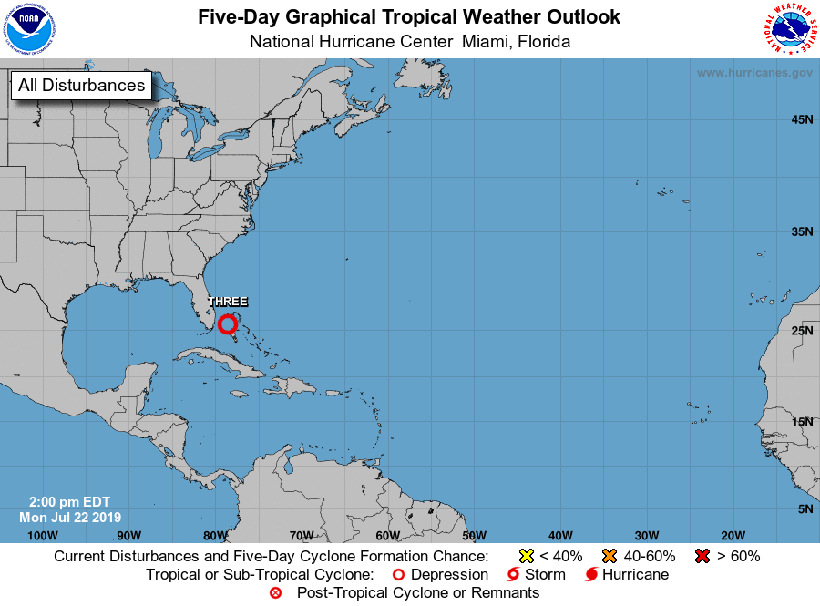
1. Showers and thunderstorms have increased in association with an
area of low pressure located near Andros Island in the Bahamas.
While environmental conditions are only marginally conducive for
development, only a slight increase in the organization of this
system could result in the formation of a tropical depression later
today or tonight. Additional development is not anticipated after
that time due to strong upper-level winds. The low is expected to
move northwestward around 15 mph today and north-northwestward to
northward tonight and Tuesday, remaining offshore of the east coast
of the Florida peninsula. This system will continue to produce
locally heavy rainfall and gusty winds over portions of the
northwest Bahamas through tonight. Showers and thunderstorms could
also spread over portions of the east coast of the Florida peninsula
tonight and Tuesday.
* Formation chance through 48 hours...medium...60 percent.
* Formation chance through 5 days...medium...60 percent.
Forecaster Pasch