ZCZC MIATWOAT ALL
TTAA00 KNHC DDHHMM
Tropical Weather Outlook
NWS National Hurricane Center Miami FL
700 AM EST Sun Nov 25 2018
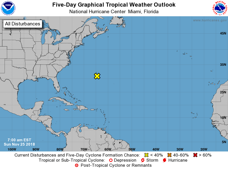
For the North Atlantic...Caribbean Sea and the Gulf of Mexico:
1. A low pressure system located just south of Bermuda is forecast to
become a powerful non-tropical cyclone later today. Conditions are
not expected to be conducive for subtropical development while the
low moves quickly east-northeastward during the next few days.
Although subtropical development is not anticipated, the system is
expected to produce gale-force winds over portions of the western
Atlantic and near Bermuda today. The low is then forecast to
intensify further and could produce winds up to hurricane-force over
portions of the central Atlantic by Tuesday. Additional information
on this system can be found in High Seas Forecasts issued by the
National Weather Service.
* Formation chance through 48 hours...low...near 0 percent.
* Formation chance through 5 days...low...near 0 percent.
High Seas Forecasts issued by the National Weather Service are
issued under AWIPS header NFDHSFAT1, WMO header FZNT01 KWBC, and
are available on the Web at
https://ocean.weather.gov/shtml/NFDHSFAT1.shtml.
Forecaster Zelinsky