ZCZC MIATWOAT ALL
TTAA00 KNHC DDHHMM
Tropical Weather Outlook
NWS National Hurricane Center Miami FL
200 AM EDT Tue Jul 3 2018
For the North Atlantic...Caribbean Sea and the Gulf of Mexico:
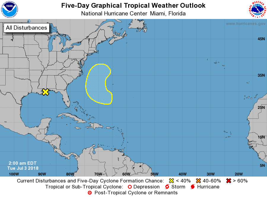
1. Disorganized showers and thunderstorms extending from the
north-central Gulf of Mexico northward are associated with a broad
trough of low pressure. This disturbance is gradually moving inland
over southeastern Louisiana and development is not anticipated.
Additional information on this system can be found in products
issued by your local National Weather Service office.
* Formation chance through 48 hours...low...near 0 percent.
* Formation chance through 5 days...low...near 0 percent.
2. A non-tropical low pressure system is expected to form about midway
between Bermuda and the southeastern United States by the end of the
week. That system could gradually acquire some tropical
characteristics over the weekend while it moves slowly northward and
then northeastward away from the United States.
* Formation chance through 48 hours...low...near 0 percent.
* Formation chance through 5 days...low...20 percent.
Forecaster Avila