ZCZC MIATWOAT ALL
TTAA00 KNHC DDHHMM
Tropical Weather Outlook
NWS National Hurricane Center Miami FL
700 AM EST Thu Nov 16 2017
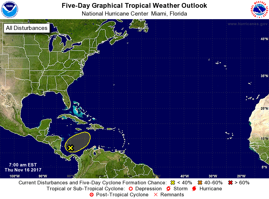
For the North Atlantic...Caribbean Sea and the Gulf of Mexico:
1. An elongated area of low pressure that extends from southwest to
northeast across the central Caribbean Sea is producing a large area
of disorganized shower and thunderstorm activity. While strong
upper-level winds are expected to prevent any significant
development, heavy rainfall is possible over portions of the
northwestern coast of Colombia, Hispaniola, and Puerto Rico during
the next few days while the low meanders over the central Caribbean
Sea and interacts with an upper-level trough.
* Formation chance through 48 hours...low...10 percent.
* Formation chance through 5 days...low...10 percent.
Forecaster Brennan