ZCZC MIATWOAT ALL
TTAA00 KNHC DDHHMM
Tropical Weather Outlook
NWS National Hurricane Center Miami FL
800 PM EDT Sun Aug 6 2017
For the North Atlantic...Caribbean Sea and the Gulf of Mexico:
The National Hurricane Center is issuing advisories on Potential
Tropical Cyclone Seven, located over the northwestern Caribbean Sea.
* Formation chance through 48 hours...high...90 percent.
* Formation chance through 5 days...high...90 percent.
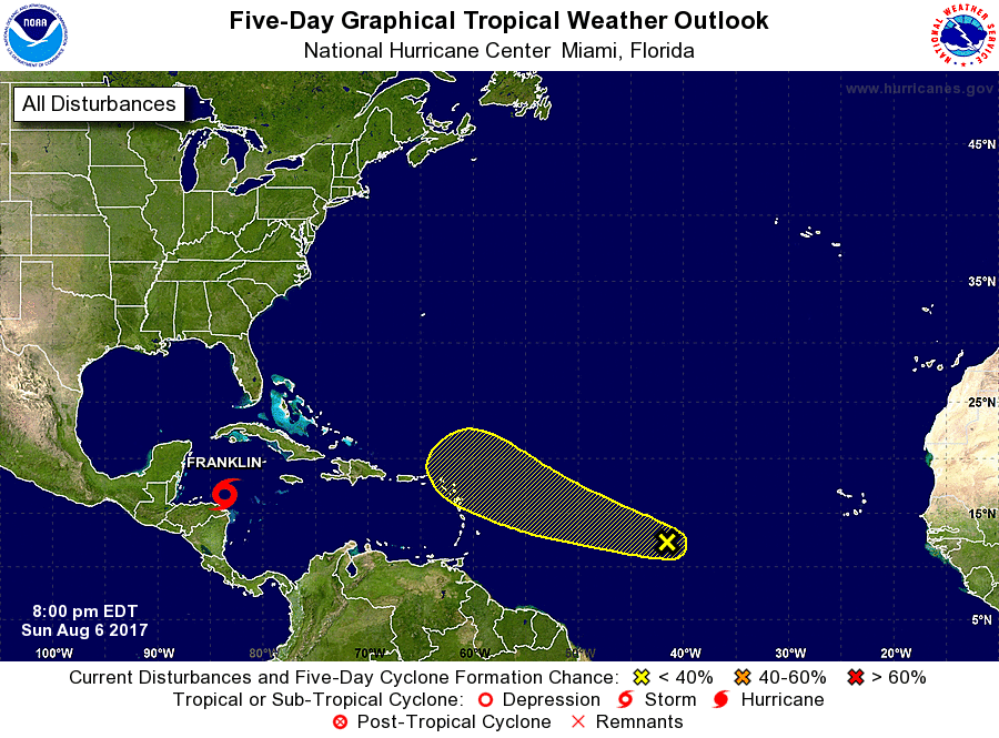
1. An elongated area of low pressure located about midway between the
Cabo Verde Islands and the Lesser Antilles is producing only limited
shower and thunderstorm activity. Development, if any, is expected
to be slow to occur while the system moves generally
west-northwestward across the tropical Atlantic at about 15 mph.
* Formation chance through 48 hours...low...10 percent.
* Formation chance through 5 days...low...30 percent.
Forecaster Zelinsky/Brown