ZCZC MIATWOAT ALL
TTAA00 KNHC DDHHMM
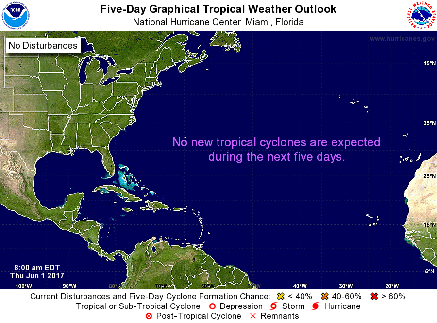
Tropical Weather Outlook
NWS National Hurricane Center Miami FL
800 AM EDT Thu Jun 1 2017
For the North Atlantic...Caribbean Sea and the Gulf of Mexico:
Tropical cyclone formation is not expected during the next 5 days.
Today marks the first day of the Atlantic hurricane season, which
will run until November 30. Long-term averages for the number of
named storms, hurricanes, and major hurricanes are 12, 6, and 3,
respectively.
The list of names for 2017 is as follows:
Name Pronunciation Name Pronunciation
-------------------------------------------------------------
Arlene ar-LEEN Lee lee
Bret bret Maria ma-REE-ah
Cindy SIN-dee Nate nait
Don dahn Ophelia o-FEEL-ya
Emily EH-mih-lee Philippe fee-LEEP
Franklin FRANK-lin Rina REE-nuh
Gert gert Sean shawn
Harvey HAR-vee Tammy TAM-ee
Irma ER-mah Vince vinss
Jose ho-ZAY Whitney WHIT-nee
Katia KAH-tyah
One tropical cyclone, Tropical Storm Arlene, already formed this
year in April. The next named storm that forms this season will be
Bret.
This product, the Tropical Weather Outlook, briefly describes
significant areas of disturbed weather and their potential for
tropical cyclone formation during the next five days. The issuance
times of this product are 2 AM, 8 AM, 2 PM, and 8 PM EDT. After the
change to standard time in November, the issuance times are 1 AM, 7
AM, 1 PM, and 7 PM EST.
A Special Tropical Weather Outlook will be issued to provide
updates, as necessary, in between the regularly scheduled issuances
of the Tropical Weather Outlook. Special Tropical Weather Outlooks
will be issued under the same WMO and AWIPS headers as the regular
Tropical Weather Outlooks.
A standard package of products, consisting of the tropical cyclone
public advisory, the forecast/advisory, the cyclone discussion, and
a wind speed probability product, is issued every six hours for all
ongoing tropical cyclones. In addition, a special advisory package
may be issued at any time to advise of significant unexpected
changes or to modify watches or warnings.
Beginning this season, the National Hurricane Center (NHC) will have
the option to issue advisories, watches, and warnings for
disturbances that are not yet a tropical cyclone, but which pose the
threat of bringing tropical storm or hurricane conditions to land
areas within 48 hours. For these land-threatening "potential
tropical cyclones", NHC will issue the full suite of advisory and
watch/warning products that previously had been issued only for
tropical cyclones. Potential tropical cyclones will share the
naming conventions currently in place for tropical depressions,
being numbered from a single list (e.g., "One", "Two", "Three",
etc.).
The Tropical Cyclone Update is a brief statement to inform of
significant changes in a tropical cyclone, to post or cancel watches
or warnings, or to provide hourly position updates between
intermediate advisories when the storm center is easily followed by
radar. The Tropical Cyclone Update is also used in lieu of or to
precede the issuance of a special advisory package. Tropical
Cyclone Updates, which can be issued at any time, can be found under
WMO header WTNT61-65 KNHC, and under AWIPS header MIATCUAT1-5.
All NHC text and graphical products are available on the web at
http://www.hurricanes.gov. More information on NHC text products
can be found at http://www.hurricanes.gov/aboutnhcprod.shtml,
while more information about NHC graphical products can be
found at http://www.hurricanes.gov/aboutnhcgraphics.shtml.
You can also interact with NHC on Facebook at
https://www.facebook.com/NWSNHC. Notifications are available via
Twitter when select NHC products are issued. Information about our
Atlantic Twitter feed is available at
http://www.hurricanes.gov/twitter.shtml.
$$
Forecaster Beven
NNNN