ZCZC MIATWOAT ALL
TTAA00 KNHC DDHHMM
TROPICAL WEATHER OUTLOOK
NWS NATIONAL HURRICANE CENTER MIAMI FL
200 PM EDT WED OCT 5 2016
For the North Atlantic...Caribbean Sea and the Gulf of Mexico:
The National Hurricane Center is issuing advisories on Hurricane
Matthew, located between Cuba and the Bahamas, and on Tropical Storm
Nicole, located several hundred miles north-northeast of Puerto
Rico.
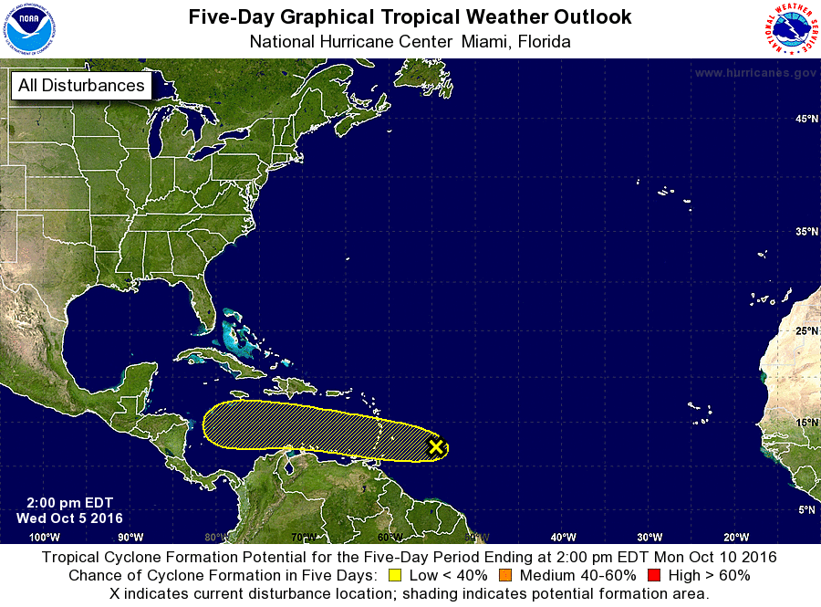
1. A tropical wave is producing a large area of cloudiness and showers
several hundred miles east of the Windward Islands. Development of
this system is not expected during the next few days while it moves
westward at 15 mph, but some development could be possible when the
wave reaches the southwestern Caribbean Sea early next week.
Locally heavy rains and gusty winds are possible in the Windward and
southern Leeward Islands during the next couple of days as the wave
moves through the area.
* Formation chance through 48 hours...low...near 0 percent
* Formation chance through 5 days...low...20 percent
Forecaster Berg