


NHC Graphical Outlook Archive
|
« Earliest Available ‹ Earlier Later › Latest Available » |
| Eastern Pacific | Atlantic |
|
|
(mouse over shaded areas for details; click on shaded areas or disturbance numbers to switch views) |
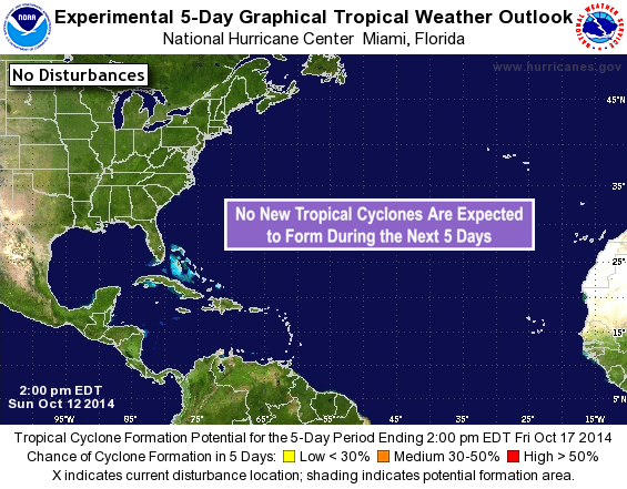
Tropical Weather Outlook Text
TROPICAL WEATHER OUTLOOK
NWS NATIONAL HURRICANE CENTER MIAMI FL
200 PM EDT SUN OCT 12 2014

For the North Atlantic...Caribbean Sea and the Gulf of Mexico:

The National Hurricane Center is issuing advisories on Tropical
Storm Fay, located northeast of Bermuda.

Preliminary reports from an Air Force Reserve reconnaissance
aircraft indicate that the low pressure system located a couple of
hundred miles east of the Leeward Islands has developed into
Tropical Storm Gonzalo with maximum winds of 40 mph. A special
tropical cyclone advisory package has been issued on this system at
130 pm EDT...1730 UTC.
* Formation chance through 48 hours...high...100 percent.
* Formation chance through 5 days...high...100 percent.

$$
Forecaster Stewart
NNNN
List of Atlantic Outlooks (May 2023 - present)
List of East Pacific Outlooks (May 2023 - present)
List of Central Pacific Outlooks (May 2023 - present)
List of Atlantic Outlooks (July 2014 - April 2023)
List of East Pacific Outlooks (July 2014 - April 2023)
List of Central Pacific Outlooks (June 2019 - April 2023)
List of Atlantic Outlooks (June 2009 - June 2014)
List of East Pacific Outlooks (June 2009 - June 2014)