ZCZC MIATWOEP ALL
TTAA00 KNHC DDHHMM

Tropical Weather Outlook
NWS National Hurricane Center Miami FL
1100 AM PDT Sat Sep 23 2023

For the eastern North Pacific...east of 140 degrees west longitude:

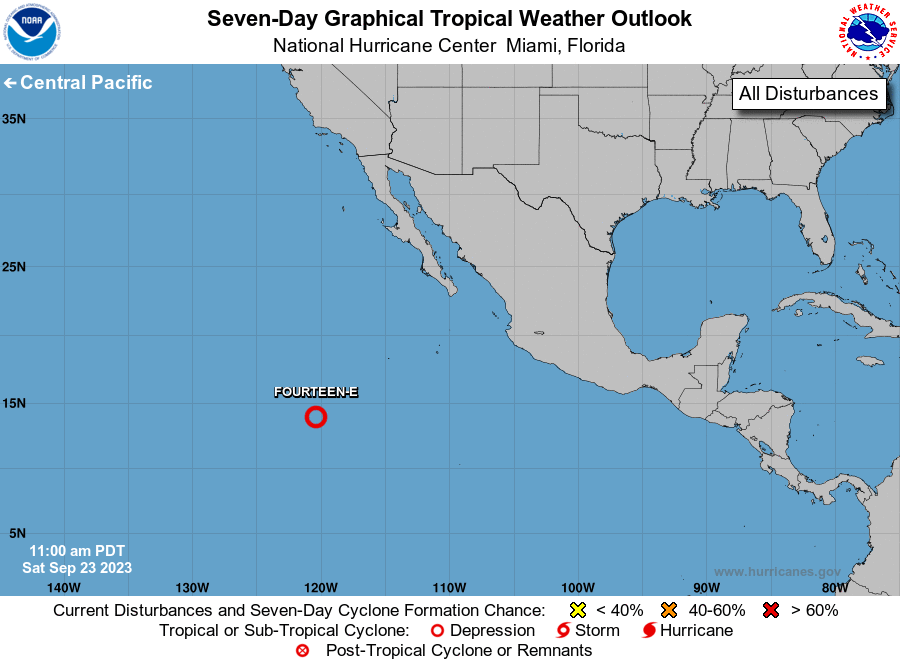
1. Central East Pacific (EP97):
An area of low pressure is located several hundred miles southwest
of the southern tip of the Baja California peninsula. Recent
microwave imagery indicates that showers and thunderstorms
associated with this system have become better organized, though it
remains unclear if a well-defined surface circulation has formed.
Regardless, further development of this system is anticipated and a
tropical depression is likely to form during the next couple of
days. The system is moving westward at 15 to 20 mph, and this
general motion is expected to continue for the next several days.
* Formation chance through 48 hours...high...70 percent.
* Formation chance through 7 days...high...80 percent.

Forecaster D. Zelinsky/Papin





 NHC on Facebook
 Twitter
 YouTube
 NHC Blog: