ZCZC MIATWOAT ALL
TTAA00 KNHC DDHHMM

Tropical Weather Outlook
NWS National Hurricane Center Miami FL
800 AM EDT Wed Aug 2 2023

For the North Atlantic...Caribbean Sea and the Gulf of Mexico:

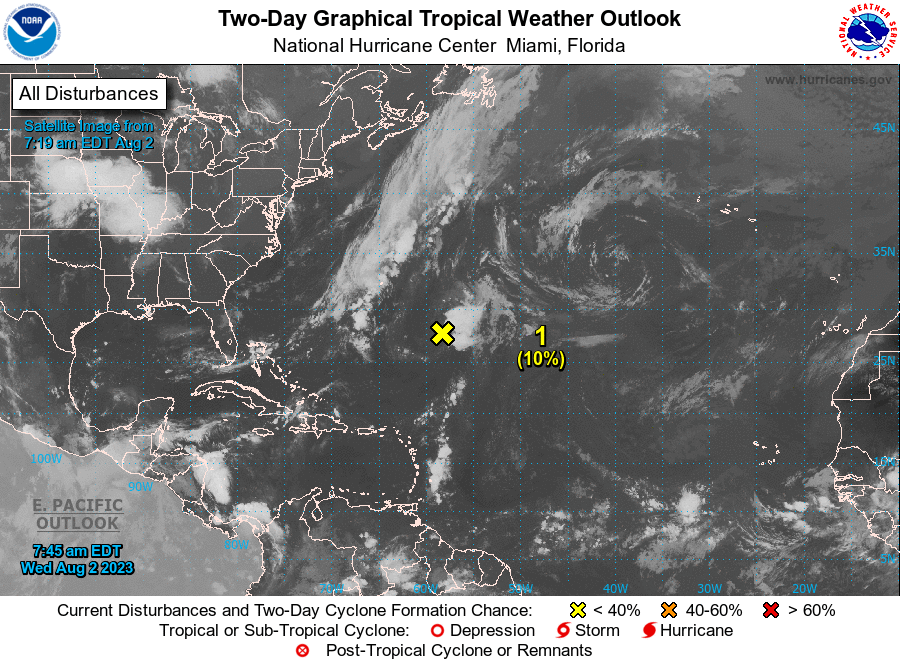
1. Central Subtropical Atlantic (AL96):
Showers and thunderstorms remain disorganized in association with a
low pressure area located about 475 miles southeast of Bermuda.
Environmental conditions are becoming increasingly less favorable
for tropical cyclone formation, and the low is expected to move
northward and merge with a frontal system over the north-central
Atlantic in a couple of days.
* Formation chance through 48 hours...low...10 percent.
* Formation chance through 7 days...low...10 percent.

Forecaster Beven





 NHC on Facebook
 Twitter
 YouTube
 NHC Blog: