ZCZC MIATWOAT ALL
TTAA00 KNHC DDHHMM

Tropical Weather Outlook
NWS National Hurricane Center Miami FL
800 AM EDT Tue Jul 11 2023

For the North Atlantic...Caribbean Sea and the Gulf of Mexico:

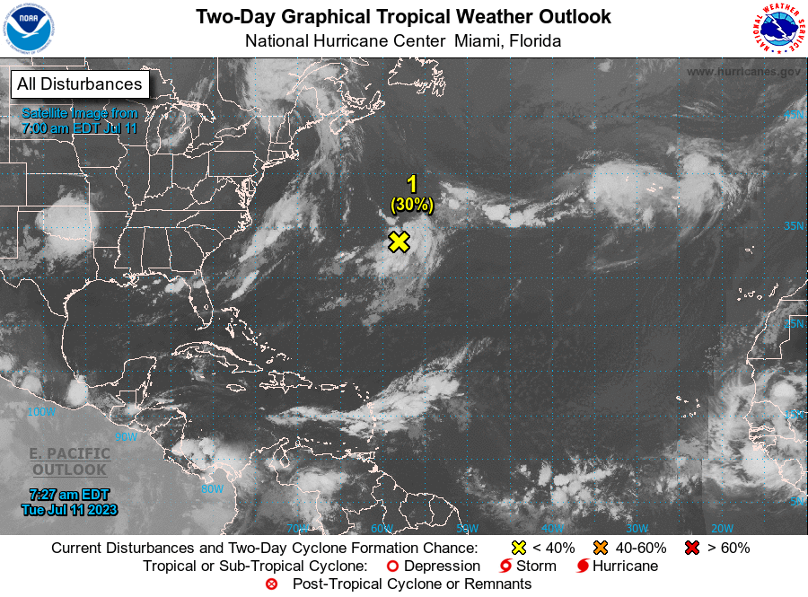
1. Central Atlantic:
A trough of low pressure is producing disorganized showers and
thunderstorms a few hundred miles east-northeast of Bermuda.
Environmental conditions are forecast to be marginally conducive for
gradual development of this system, and a subtropical or tropical
depression could form on Thursday or Friday while the system moves
generally eastward. By the weekend, the low should turn northward
bringing the system over cooler waters, likely limiting additional
development.
* Formation chance through 48 hours...low...30 percent.
* Formation chance through 7 days...medium...50 percent.

Forecaster Cangialosi/Kelly





 NHC on Facebook
 Twitter
 YouTube
 NHC Blog: