ZCZC MIATWOAT ALL
TTAA00 KNHC DDHHMM
Tropical Weather Outlook
NWS National Hurricane Center Miami FL
200 PM EDT Mon Jun 19 2023
For the North Atlantic...Caribbean Sea and the Gulf of Mexico:
The National Hurricane Center is issuing advisories on newly formed
Tropical Depression Three, located over the central tropical
Atlantic.
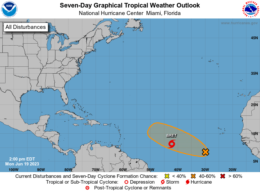
1. Eastern Tropical Atlantic (AL93):
A tropical wave located several hundred miles south-southwest of
the Cabo Verde Islands continues to produce a large area of
disorganized showers and thunderstorms. Environmental conditions
appear favorable for further development of this system, and a
tropical depression could form in a couple of days while the system
moves westward at 10 to 15 mph across the eastern and central
tropical Atlantic.
* Formation chance through 48 hours...medium...40 percent.
* Formation chance through 7 days...medium...50 percent.
Public Advisories on Tropical Depression Three are issued under WMO
header WTNT33 KNHC and under AWIPS header MIATCPAT3.
Forecast/Advisories on Tropical Depression Three are issued under
WMO header WTNT23 KNHC and under AWIPS header MIATCMAT3.
Forecaster Kelly/Blake